
Thomas Jefferys
Illustration — Example of Jefferys' work. The eastern part of Siberia as depicted by the Second Kamchatka Expedition. Thomas Jefferys (c.
Thomas Jefferys
Thomas Jefferys · Wellcome Collection, London · Wellcome Collection · Public Domain Mark
- Born
- 1719 · England.
- Died
- 1771 · London.
- Nationality
- Kingdom of Great Britain
- Occupation
- cartographer · writer · businessperson · geographer · publisher · bookseller · copper engraver
- Fields
- cartography · geography · publishing house · bookstore
- Languages
- English
VALÉORINE Encyclopedia
VALÉORINE documentary reading
Documentary summary
Illustration — Example of Jefferys' work. The eastern part of Siberia as depicted by the Second Kamchatka Expedition. Thomas Jefferys (c.
Admitted source layer · organised and presented by VALÉORINE
Note VALÉORINE
Thomas Jefferys (1719–1771) was a British bookseller, businessperson and cartographer, among other activities. Born in England, the bookseller died in London.
Thomas Jefferys was a member of Robert Thomas Sayer Jefferys and worked in London. The bookseller was active in bookstore, cartography and engraving.
Languages used include English. Works by Thomas Jefferys are held at Art Gallery of Nova Scotia, Bibliothèque nationale de France and British Library, among others.
Composed from admitted, traceable facts · 26 September 2026
VALÉORINE
Reference Check
Propose documentary evidence for Thomas Jefferys. A contribution is never written directly as fact: identity, source, rights and evidence gates still decide.
Sign in to contribute
World of VALÉORINE
Documentary connections
Only confirmed graph relationships appear here. Images are shown only when their identity and reuse rights both pass the documentary gate.

Documentary evidence
Documentary basis
Authority files
wikidata · Q3990658 · wikipedia · Thomas Jefferys
In this article
Early work
Early work
1719 – 1771), "Geographer to King George III", was an English cartographer who was the leading map supplier of his day. He engraved and printed maps for government and other official bodies and produced a wide range of commercial maps and atlases, especially of North America.
The recorded working language is English. The field of work recorded is cartography, geography and publishing house. Places of work recorded in the authority are London. Work by Thomas Jefferys is recorded in the collections of Musée national des beaux-arts du Québec, Library of Congress, British Library, Bibliothèque nationale de France and Newberry Library.
As "Geographer to the Prince of Wales", he produced A Plan of all the Houses, destroyed & damaged by the Great Fire, which began in Exchange Alley Cornhill, on Friday March 25, 1748. He produced The Small English Atlas with Thomas Kitchin, and he engraved plans of towns in the English Midlands.
Maps of North America
Maps of North America
• Illustration — Part of the Map of the Most Inhabited Part of Virginia In 1754, Jefferys published a Map of the Most Inhabited Part of Virginia which had been surveyed by Joshua Fry and Peter Jefferson in 1751. The next year he published a map of New England surveyed by John Green, and in 1768 he published A General Topography of North America and the West Indies in association with Robert Sayer. In 1775, after his death, collections of his maps were published by Sayer as The American Atlas and The West-India Atlas. The American Atlas was reissued in 1776, expanded in response to growing hostilities between the British and the Americans; it contains maps by Joshua Fry, Peter Jefferson, Lewis Evans, and others. In 1754, Jefferys took a robust and public stance in the controversy with the French on the boundary of Nova Scotia and Acadia, which arose in the time and context of Father Le Loutre's War, which is commonly held to have begun in 1749 and ended with the expulsion of the Acadians in 1755. Jefferys posthumously lent his name in 1776 to The American Atlas: Or, A Geographical Description Of The Whole Continent Of America. It contains works by, amongst others, Joshua Fry and Peter Jefferson.
Maps of English counties
Maps of English counties
Jefferys commissioned surveys and published maps of several English counties. These were large-scale maps with several sheets for each county; in the case of Bedfordshire and Huntingdonshire the scale was two inches to one mile (1:31680). • Bedfordshire, surveyed 1765 by Scots cartographer John Ainslie, published 1765, reprinted 1983 • Huntingdonshire, surveyed 1766, published 1768 • Oxfordshire, surveyed 1766-67, published (by Andrew Dury) 1767 • County Durham, published 1768 • Buckinghamshire, surveyed 1766-68 by John Ainslie, published 1770, reprinted 2000 • Westmoreland, surveyed 1768, published 1770 • Yorkshire, surveyed 1767-70 by John Ainslie, published 1771-72 • Cumberland, surveyed 1770-71, published 1774 • Northamptonshire, survey (originally by Thomas Eyre) revised 1771, published 1779 After the death of Jefferys, these maps were re-issued by other map publishers such as William Faden.
Identity
Identity
Thomas Jefferys is recorded as cartographer, writer, businessperson, geographer and publisher.
![The heart: four figures. Engraving by T. Jefferys, ca. 1763., [1763?], by Thomas Jefferys](https://iiif.wellcomecollection.org/image/V0008427EL/full/800,/0/default.jpg)
The heart: four figures. Engraving by T. Jefferys, ca. 1763., [1763?], by Thomas Jefferys
Thomas Jefferys · Wellcome Collection, London · Wellcome Collection
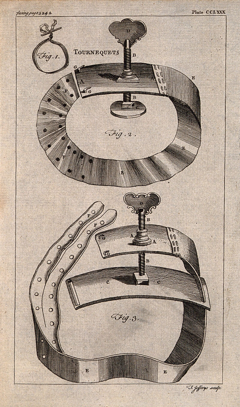
Surgical instruments: tourniquets. Engraving with etching by T. Jefferys., by Thomas Jefferys
Thomas Jefferys · Wellcome Collection, London · Wellcome Collection
Life and career
Dated record
Life and career
Explore 1719–1771
The full dated record · 4 entries
1719
Thomas Jefferys was born in 1719 at England.
1755
Explanation for the new map of Nova Scotia and Cape Britain, with the adjacent parts of New England and Canada [by Thomas Jefferys]., dated 1755, held by Wellcome Collection.
1757
A companion to the almanac MDCCLVII. The sixth edition. Containing, I. Correct lists of the peers... V. The trading companies,... With the arms of all the peers... ingraved by Thomas Jefferys,... To this edition is added, the establishment of Scotland is dated [1757] and held by Wellcome Collection.
1771
Thomas Jefferys died in 1771 at London.
Places
Named by the record
Places
Only places the record itself states, plotted where the house gazetteer settles their coordinates. Nothing is inferred from a name or a nationality.
England.
Birth place
London.
Death place
Literature
Literature
Jefferys, Thomas (d 1771), Oxford Dictionary of National Biography, 2018
Jefferys, Thomas (c
Notes from the source article
Cited by Wikipedia
Notes from the source article
These works are cited by the source article, in its own numbering. They are recorded as its citations, not as sources VALÉORINE has verified.
- 1.Oxford Dictionary of National Biography, 2004.
- 2.Buckinghamshire in the 1760s and 1820s: The County Maps of Jefferys and Bryant, Buckinghamshire Archaeological Society, 2000, . Information for this article has been taken from the introduction by Paul Laxton.
- 3.Peter Barber, The Map Book, Weidenfeld & Nicolson, 2005, , pp. 204-205.
- 4.Osher Map Library: Percy Map: Thomas Jefferys.
- 5.Thomas Jefferys' West-India Atlas of 1775.
- 6.A copy of the first edition of The American Atlas.
- 7.[https://archive.org/details/conductoffrenchw01jeff archive.org: "The conduct of the French, with regard to Nova Scotia : from its first settlement to the present time; in which are exposed the falsehood and absurdity of their arguments made use of to elude the force of the treaty of Utrecht, and support their unjust proceedings; in a letter to a member of Parliament"], by Thomas Jefferys (1754)
- 8.[https://www.peterharringtonbooks.com/jefferys-thomas/the-american-atlas-or-a-geographical-description-of-the-whole-continent-of-america/76348/ peterharringtonbooks.com: "The American Atlas: or, A Geographical Description of the Whole Continent of America: wherein are delineated at Large, its Several Regions, Countries, States, and Islands; and Chiefly the British Colonies"], by Thomas Jefferys (1776)
- 9.Adams, Ian. Ainslie, John (1745–1828), cartographer and land surveyor. 2004. 10.1093/ref:odnb/37098.
- 10.Thomas Jefferys, The County of Bedford, reprinted by Bedfordshire Historical Record Society, 1983. Introduction by Betty Chambers.
References
Citations
References
Each reference names the institution holding it, so a reader may go to the document itself.
reference work
Secondary witnessreference work
Secondary witness
The Encyclopedia exists whether or not anything is for sale. Corrections are recorded rather than overwritten, and every version of this record is kept. Published 16 August 2026.
Elsewhere in Maps and atlases
1,180 published records in this field, each with its sources named.
- Thomas HarriotAuthor
- Thomas HolmeAuthor
- Thomas HurdAuthor
- Thomas HutchinsAuthor
- Thomas KitchinAuthor
- Thomas Matthew Charles SymondsAuthor
- Thomas MouleAuthor
- Thomas RichardsonAuthor
Best supported in this field
For owners
Own a work by Thomas Jefferys?
A specialist will read what you send and tell you what the house can establish, what it cannot, and whether the object is suited to sale. There is no charge and no obligation. The object stays with you throughout; nothing is shipped to us unless it is arranged in writing beforehand.