
Heian-kyō
Illustration — Scale model of Heian-kyō • Illustration — The Daidairi (大内裏), the palace and government complex in the northern part of Heian-kyō peaceful/tranquil capital was the imperial capital of Japan established by Emperor Kanmu in 794 in what is now Kyoto. It remained the seat of the Imperial Court for most of the following millennium. Japanese historical reference works treat it as formally remaining the capital until the Imperial Court and central government moved to Tokyo in 1869.
VALÉORINE Encyclopedia
VALÉORINE documentary reading
Documentary summary
Illustration — Scale model of Heian-kyō • Illustration — The Daidairi (大内裏), the palace and government complex in the northern part of Heian-kyō peaceful/tranquil capital was the imperial capital of Japan established by Emperor Kanmu in 794 in what is now Kyoto. It remained the seat of the Imperial Court for most of the following millennium. Japanese historical reference works treat it as formally remaining the capital until the Imperial Court and central government moved to Tokyo in 1869.
Admitted source layer · organised and presented by VALÉORINE
Note VALÉORINE
No house-authored Note is published until its assertions and sources pass the VALÉORINE evidence contract. The documentary article remains available in full while that enrichment is being consolidated.
Documentary enrichment in progress · no unsupported statement published
Reference Check
Propose documentary evidence for Heian-kyō. A contribution is never written directly as fact: identity, source, rights and evidence gates still decide.
Sign in to contribute
World of VALÉORINE
Documentary connections
Only confirmed graph relationships appear here. Images are shown only when their identity and reuse rights both pass the documentary gate.
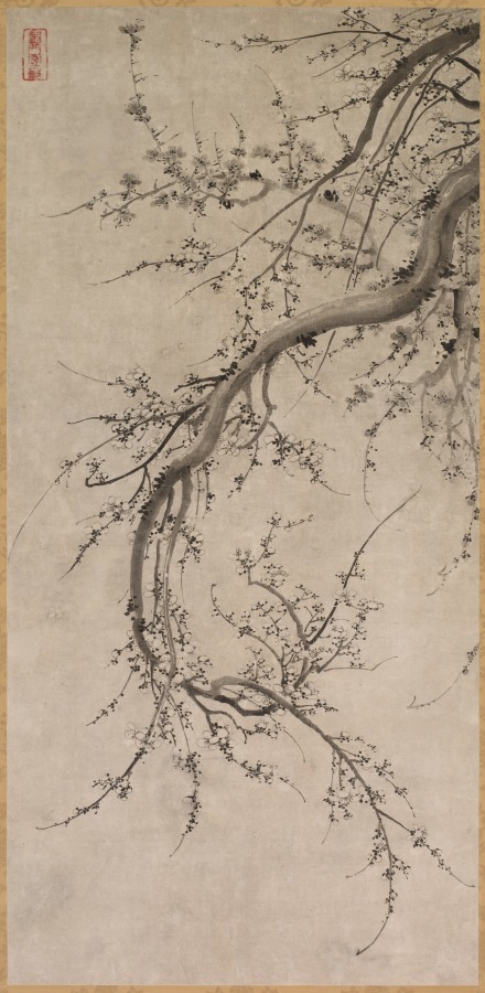
Born In · incoming
Kanō Einō
Artist
Seventy-fifth anniversary gift of Mayuyama and Co., Ltd.
Died In · incoming
Kanō Einō
Artist
Seventy-fifth anniversary gift of Mayuyama and Co., Ltd.

Died In · incoming
Kanō Eitoku
Artist
Self-scanned
Born In · incoming
Kanō Eitoku
Artist
Self-scanned
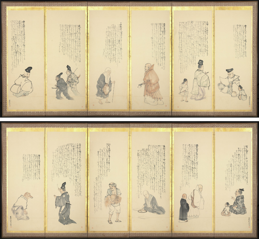
Born In · incoming
Matsumura Goshun
Artist
Andrew R. and Martha Holden Jennings Fund
Died In · incoming
Matsumura Goshun
Artist
Andrew R. and Martha Holden Jennings Fund

Died In · incoming
Munetaka-shinnō
Author
『義烈百人一首』 NPO長野県図書館等協働機構/信州地域史料アーカイブ
Born In · incoming
Munetaka-shinnō
Author
『義烈百人一首』 NPO長野県図書館等協働機構/信州地域史料アーカイブ

Born In · incoming
Murasaki Shikibu
Author
Ishiyama-dera Temple, in Ōtsu in Japan's Shiga Prefecture, [1]
Died In · incoming
Murasaki Shikibu
Author
Ishiyama-dera Temple, in Ōtsu in Japan's Shiga Prefecture, [1]
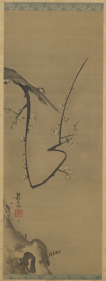
Died In · incoming
Ogata Kōrin
Artist
John L. Severance Fund
Born In · incoming
Ogata Kōrin
Artist
John L. Severance Fund

Born In · incoming
Sei Shōnagon
Author
Image: http://collections.lacma.org/sites/default/files/remote_images/piction/ma-2724447-O3.jpg Gallery: http://collections.lacma.org/node/238197 archive copy at the Wayback Machine
Documentary evidence
Evidence Panel
not yet certified
- Identity
- unresolved
- Independent source families
- 0
- Admitted assertions
- 0
- Open conflicts
- 0
In this article
Gates
Gates
The Daidairi originally had twelve principal outer gates, with three on each side. In the later 9th century, Jōtō-mon on the east and Jōsai-mon on the west were added in connection with the northward modification of the palace precinct, bringing the total to fourteen. The original group of twelve was conventionally known as the "Twelve Gates of the Palace". The table gives the avenue associated with each gate. For the gates on the south, east and west sides, this is the avenue aligned with the gate and extending into the city; the three northern gates opened onto Ichijō-ōji. • Side (direction) — Gate name — Associated avenue • South side (east to west) — Bifuku-mon (美福門) — Mibu-ōji • Suzaku-mon (朱雀門) — Suzaku-ōji • Kōga-mon (皇嘉門) — Kōgamon-ōji • West side (south to north) — Datten-mon (談天門) — Ōimikado-ōji • Sōheki-mon (藻壁門) — Nakamikado-ōji • Impu-mon (殷富門) — Konoe-ōji • Jōsai-mon (上西門) — Tsuchimikado-ōji • North side (west to east) — Anka-mon (安嘉門) — Ichijō-ōji • Ikan-mon (偉鑒門) — Ichijō-ōji • Tachi-mon (達智門) — Ichijō-ōji • East side (north to south) — Jōtō-mon (上東門) — Tsuchimikado-ōji • Yōmei-mon (陽明門) — Konoe-ōji • Taiken-mon (待賢門) — Nakamikado-ōji • Ikuhō-mon (郁芳門) — Ōimikado-ōji
History
History
• Illustration — Map of Kyoto, 1696 In 784, Emperor Kanmu moved the capital from Heijō-kyō to Nagaoka-kyō. Within less than a decade, however, plans were made for another relocation. According to a biographical notice preserved in the Nihon Kōki, Wake no Kiyomaro advised the emperor to abandon Nagaoka-kyō and investigate the Kadono area as a possible site for a new capital. In the first month of Enryaku 12 (793), senior officials including Fujiwara no Oguromaro and Ki no Kosami were sent to survey the Kadono area. Construction of the new capital began soon afterward, and residential plots were being distributed by the ninth month of the same year. In the seventh month of Enryaku 13 (794), the East and West Markets were transferred from Nagaoka-kyō to the new city. On the 22nd day of the tenth month of Enryaku 13, corresponding to 18 November 794 in the Julian calendar, Emperor Kanmu entered the new capital. Six days later, on the 28th day of the tenth month, an edict concerning the relocation was issued. On the eighth day of the following month, the new capital was named Heian-kyō and the written name of Yamashiro Province was changed from 山背国 to 山城国. Construction continued for more than a decade after the imperial relocation. The work largely came to an end in 805, when the office responsible for palace construction was abolished. The planned capital nevertheless developed unevenly, and substantial areas of the formal grid were never occupied or developed as originally envisaged. In 810, during the Kusuko Incident, former Emperor Heizei attempted to restore the capital to Heijō-kyō. The attempt failed, strengthening Heian-kyō's position as the imperial capital. An edict issued in the ninth month of that year referred to Heian-kyō as the "Eternal Capital". The two halves of the city did not develop equally. The Right Capital, particularly its lower-lying western areas near the Katsura River, gradually declined, while the Left Capital continued to develop. Settlement also expanded beyond the original northern and eastern boundaries, particularly north of Ichijō-ōji and toward the Kamo River. The mid-Heian-period Chiteiki described the deterioration of the Right Capital and the concentration of urban life in the northern Left Capital. In 980, Rajōmon collapsed in a storm and was never rebuilt. As the Right Capital declined and settlement expanded northward and eastward, the original symmetry and boundaries of Heian-kyō increasingly ceased to correspond to the inhabited city. The term Kyoto became increasingly common as a name for the capital during the later Heian period and had largely replaced Heian-kyō by around 1220. In 1180, Taira no Kiyomori transferred Emperor Antoku, the retired emperors and much of the court to Fukuhara-kyō, in present-day Kobe. The attempt to establish a capital there was short-lived, and the court returned to Heian-kyō later the same year. During and after the Genpei War, political authority increasingly shifted away from the Imperial Court, and the Kamakura shogunate emerged as the principal warrior government in the late 12th century. Kyoto nevertheless continued to house the emperor, the Imperial Court and important central institutions. Repeated fires increasingly disrupted the use of the Daidairi. Emperors came to reside for extended periods in aristocratic residences used as satodairi, and by the 11th century residence outside the original palace precinct had become increasingly common. In 1227, a major fire destroyed the remaining Daidairi, including buildings that had survived from earlier periods, and the palace complex was not subsequently rebuilt. The loss of the Daidairi marked an important stage in the transformation from the ancient planned capital to medieval Kyoto. The present Kyoto Imperial Palace is not located on the site of the ancient Heian Palace; it developed from a later satodairi, the Tsuchimikado Higashinotōin residence, in the northeastern part of the medieval city. During the later medieval period, Kyoto suffered repeated warfare and fires. The Ōnin War (1467–1477) caused particularly extensive destruction, and urban settlement became concentrated principally in the northern Kamigyō and southern Shimogyō districts. In the late 16th century, Toyotomi Hideyoshi undertook a major reconstruction of Kyoto. He built the Jurakudai, reorganized the street system, concentrated temples in designated districts, and in 1591 constructed the Odoi, an extensive system of earthen ramparts and ditches surrounding much of the urban area. These projects linked Kamigyō and Shimogyō more closely and helped establish the basic form of early modern Kyoto. During the Meiji Restoration, Edo was renamed Tokyo in 1868. Emperor Meiji traveled to Tokyo that year and subsequently returned to Kyoto. On the 24th day of the second month of Meiji 2 (5 April 1869), the transfer of the Daijō-kan, the central government, to Tokyo was announced. Emperor Meiji left Kyoto again on 18 April 1869 (the seventh day of the third month of Meiji 2) and arrived in Tokyo on 9 May. Japanese historical reference works consequently treat 1869 as the end of Kyoto's formal status as the capital. At Emperor Meiji's direction, the Kyoto Imperial Palace was preserved. The Takamikura, the imperial throne used in enthronement ceremonies, is housed there, at the later palace site rather than at the site of the ancient Daidairi.
Description
A planned rectangular city laid out on a grid based on the planning principles of Chinese imperial capitals, particularly Chang'an (modern Xi'an), the capital of Tang dynasty China. The Daidairi, containing the imperial palace and principal government offices, occupied the northern center of the city, while Suzaku-ōji formed its principal north–south axis. From the late 12th century, effective political authority increasingly shifted to warrior governments, especially the Kamakura shogunate, while Kyoto remained the residence of the emperor and the Imperial Court. The western part of the planned capital declined and the inhabited city expanded northward and eastward, gradually developing into medieval Kyoto.
• Illustration — Miniature model of Sai-ji Heian-kyō was built across the Kadono District and Otagi District of Yamashiro Province, in what is now central Kyoto. The planned city measured approximately 4.5 km from east to west and 5.2 km from north to south. Its area was less than one-third that of Tang-dynasty Chang'an. The Daidairi occupied the northern center of the capital and measured about 1.16 km from east to west and 1.39 km from north to south. From its southern entrance, Suzaku-ōji ran south through the center of the city to Rajōmon, dividing Heian-kyō into the Left Capital to the east and the Right Capital to the west, as viewed facing south from the palace. The city plan formed a rectangular grid. Unlike Chang'an, Heian-kyō was not enclosed by a continuous city wall. The palace was placed at the northern center of the city rather than at its geographical center. The site was also traditionally interpreted according to shijinsōō, the correspondence of the surrounding landscape with the Four Symbols of East Asian cosmology. The planned city was bounded by Ichijō-ōji in the north, Kujō-ōji in the south, Higashi-kyōgoku-ōji in the east and Nishi-kyōgoku-ōji in the west. Elements of the ancient plan remain reflected in modern Kyoto. In particular, Kyoto City identifies the line of modern Senbon-dōri with the course of Suzaku-ōji. The city was divided by major streets called ōji and smaller streets called kōji. A jō was a unit of length of approximately 3.03 m. A chō was a square measuring 40 jō, or about 121 m, on each side. This unit of length should not be confused with jō, the numbered east–west divisions of the capital. The city was divided into nine jō, numbered from First to Ninth, and each of the Left and Right Capitals into four north–south bō. Each bō was divided into 16 chō. Locations could therefore be expressed in forms such as "Right Capital, Fifth jō, Second bō, Fourteenth chō" (右京五条二坊十四町). In the later 9th century, the northern part of the capital was modified. The northern boundary was moved approximately two chō farther north, creating the hokuhen-bō, or northern half-division. The former Ichijō-ōji came to be called Tsuchimikado-ōji, while the new northern boundary road took the name Ichijō-ōji. The modification also enlarged the Daidairi and increased the number of its outer gates from twelve to fourteen. Minor streets were generally four jō, or about 12 m, wide. Major avenues were considerably broader, while Suzaku-ōji was exceptionally wide at 28 jō, approximately 85 m. Public facilities included the administrative offices of the Left and Right Capitals, government schools, prisons, gardens and the East and West Markets. The East Market lay in the Left Capital and the West Market in the Right Capital, both in the Seventh jō. Archaeological investigations have identified remains associated with the East Market in the Left Capital, Seventh jō, Second bō, and the West Market in the corresponding area of the Right Capital. Construction of Buddhist temples within the planned city was tightly restricted. Tō-ji and Sai-ji, positioned near its southern end, were the principal state temples permitted there. In 823, Emperor Saga entrusted Tō-ji to Kūkai, who developed it as a center of Shingon Buddhism. • Illustration — Schematic diagram of Heian-kyō • Illustration — English-language diagram showing the principal streets and palace complex
Licensing
Text attribution
Part of the biographical narrative on this page reuses licensed material. Its origin, revision and licence are recorded here.
The biographical narrative on this page is based on the Wikipedia article Heian-kyō, revision 1374769376 (EN edition), by its contributors. VALÉORINE has edited that text and built its own documentary record around it. The reused material is available under CC BY-SA 4.0, and this page's reuse of it is offered under the same licence. Everything else on this page — the chronology, the holdings, the evidence, the plates and the connections — is VALÉORINE's own record. Sources and licences.
Knowledge graph
Makers, houses and production
The people, houses and objects recorded in connection with this place.
Born at
1- Murasaki ShikibuAuthor
Established from a fact already recorded on a verified source.
Died at
1- Murasaki ShikibuAuthor
Established from a fact already recorded on a verified source.
The Encyclopedia exists whether or not anything is for sale. Corrections are recorded rather than overwritten, and every version of this record is kept. Published 27 September 2026.
Elsewhere in General
22,759 published records in this field, each with its sources named.
- HeerjansdamPlace
- HeerlenPlace
- HegykőPlace
- Hei-tikiTerminology
- HeidecksburgPlace
- HeidelbergPlace
- Heidelberg High SchoolOrganisation
- HeidenPlace
Best supported in this field
For owners
Own an object connected with Heian-kyō?
A specialist will read what you send and tell you what the house can establish, what it cannot, and whether the object is suited to sale. There is no charge and no obligation. The object stays with you throughout; nothing is shipped to us unless it is arranged in writing beforehand.